A Road Mapping Project with the DJI Phantom 4 RTK
Company: Beacon Survey Limited Industry Vertical
Industry Vertical: Company: AEC and Surveying
Company Background
Can you tell us about your company?
We have been providing land surveying services, geological engineering services, consultancy, and survey equipment rental in Ghana and West Africa over the past 15 years. Our survey and consultancy services include property or cadastral surveys, topographic surveys, hydrographic surveys, underground utility surveys, engineering surveys, geological engineering surveys, and survey instrument rentals.
Project Challenge
Can you give us an overview of your use case with the DJI Phantom 4 RTK?
Our project involved mapping a section of the Accra-Kumasi (Asankare-Konongo-Ejisu) road in Ghana. We were required to produce a topographical map of the 53-kilometre road corridor with a 100-meter right of way. The topographical map was to aid in redesigning the road from a single carriage into a dual carriage. The project turnaround time was three weeks from project start to submission of deliverables.
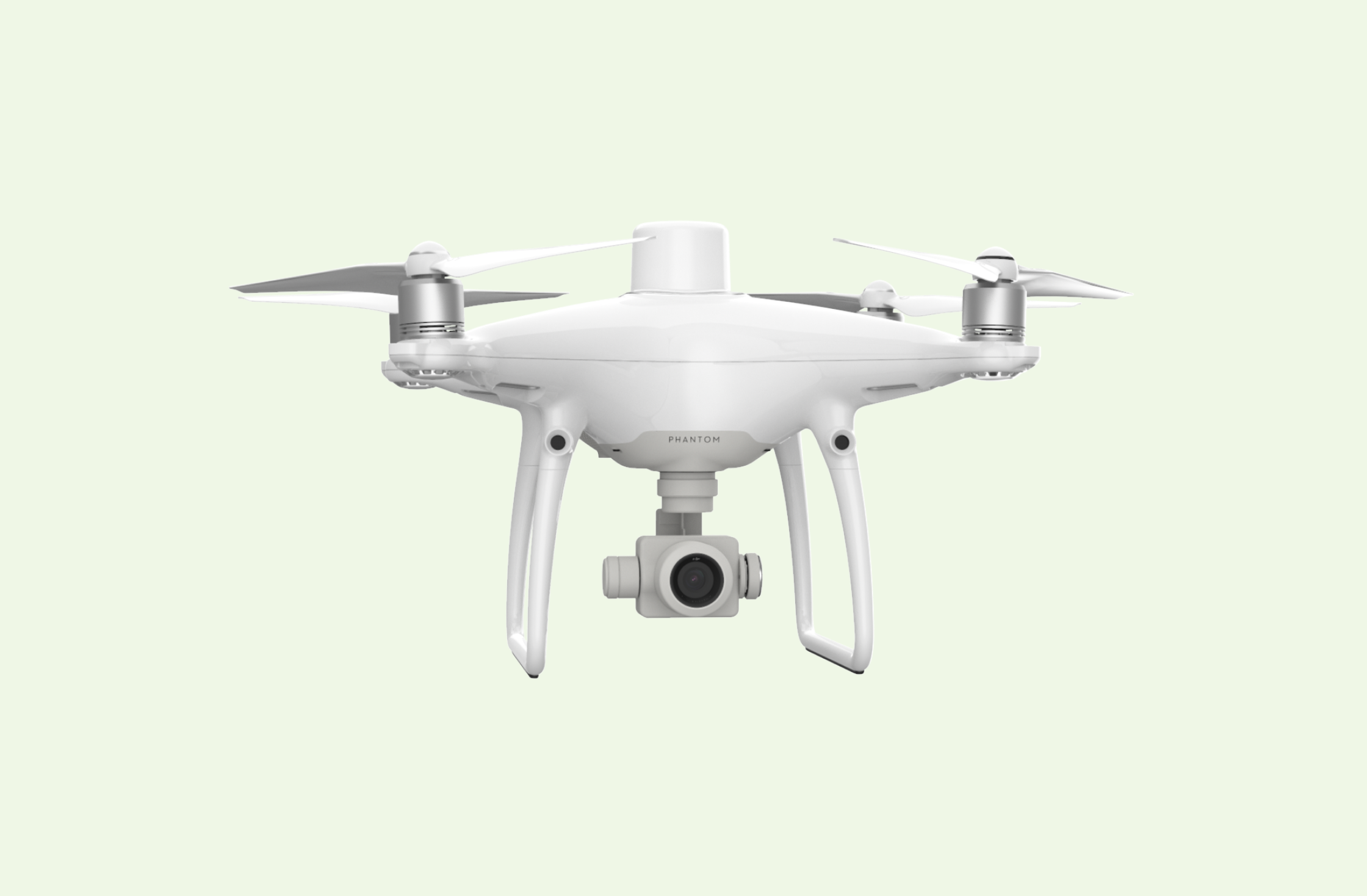
We deployed the DJI Phantom 4 RTK and its D-RTK 2 High Precision GNSS Mobile Base Station for this road mapping project. The road is a major traffic route bordered by vegetation. We have multiple Phantom 4 Pro V2.0 drones in our drone fleet but decided that the DJI Phantom 4 RTK was best suited for this project because of its accuracy.
Solution
Can you discuss the workflow and benefits you experienced with the drone?
We flew at the height of 100 meters with a front overlap of 80% and a side overlap of 75%. The ground sampling distance achieved was about 2.5cm. We conducted about 30 flights with the Phantom 4 RTK over the 53-kilometre corridor. We flew in a 1.5-kilometre length on either side of the base station set up to ensure compliance with keeping a visual line of sight.
Without getting overly technical, the workflow we adopted involved setting the base station over predetermined coordinates and inputting those coordinates into the RTK setup of the drone in WGS84 longitude, latitude, and ellipsoidal height format. In mapping, the drone received real-time corrections from the base station based on the preset coordinates entered into the RTK setup. We also set ground control points for use as accuracy checkpoints.
The main benefits of using the Phantom 4 RTK were primarily a significant reduction in the number of ground control points and labour hours. Using conventional survey methods, including line-cutting through vegetation growth, could have taken two months to complete this project. But with the drone survey, we were able to submit project deliverables within the three-week project timeline.
Your final thoughts
Final Thoughts:
In my view, the DJI Phantom 4 RTK is a great tool to have in a professional surveyor’s drone fleet.
Its high accuracy and vertical take-off and landing capabilities make it an ideal low altitude drone mapping solution.
Related Stories
Looking for something else?
Ready for more?
Get updates on industry innovations and the latest free assets for
By submitting your information, you are agreeing to receive news, surveys, and special offers from Dronehub Ghana Limited. Terms and Conditions, Privacy Policy
Your preferred drone products and solutions provider in Africa
H/No. 60 Co-Operative Building, Kwame Nkrumah Avenue, Adabraka, Greater Accra, Ghana GA-075-8188
© 2025 Dronehub Ghana Limited All rights reserved.