Infocus - Benefits of RTK in Workflows for Surveying.
Elevate your surveys with centimetre-level positioning accuracy.
How accurate is accurate enough? If you’re like most land surveyors, the answer is “as much as possible.” With an RTK drone, surveyors and other kinds of enterprise drone pilots can expect centimetre-level positioning accuracy with each flight. The system represents a marked improvement from satellite data on its own and can help ensure you have the accurate information you need to get the job done.
What exactly is RTK?
Real-Time Kinematics, or RTK for short, is a special technique for satellite positioning that can produce accurate results to the centimetre, making it an invaluable tool for surveyors around the world. The method involves measuring satellite data against a ground station for precise, real-time information.
The key parts of the RTK technique include:
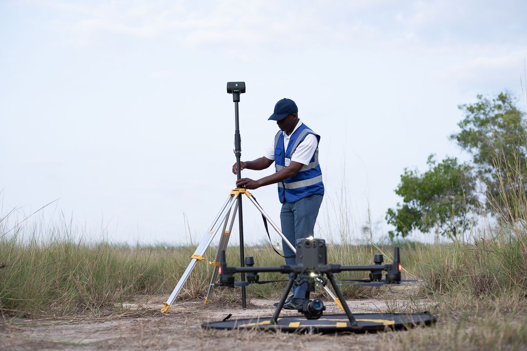
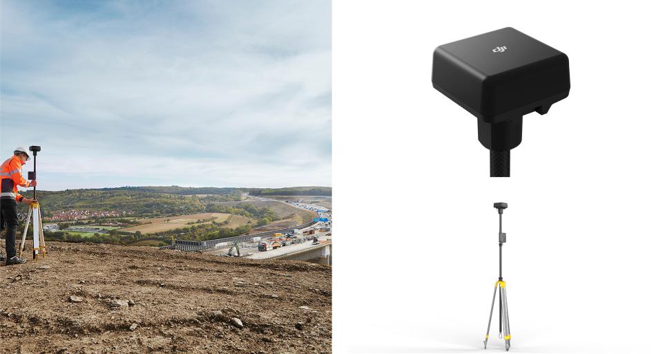
A base station: The base station, also known as a reference station, remains at a defined point on the ground, where its GPS location is continually contrasted with the location of a drone. In order to work properly, an RTK drone must stay in constant connection with the base station.
RTK receiver: This device is a part of the hardware of the drone and sends signals to both the controller and a satellite.
A controller: Your drone’s remote controller sends signals to move the drone and displays coordinate changes.
Satellite: Satellite data is still a key part of any RTK system. However, rather than simply communicating with the drone receiver, information is also tested against the base station, establishing position accuracy.
The RTK advantage
RTK data is far superior to satellite data on its own because it can be used to correct inaccuracies and discrepancies, ensuring information hews as close to reality as possible. There are numerous factors that can skew satellite coordinates, including incremental weather, tall buildings, mountains, and other issues. These are called “tropospheric delays.” The RTK system fills in these gaps with real-time data from the base station and drone.
The major benefits of an RTK system include:
Improved accuracy: This is the big one. When compared to satellite data alone, an RTK system offers far improved positioning accuracy — typically up to centimetre-level.
Real-time corrections: While other adjustment technologies like PPK (more on that below) correct skewed data and fill in gaps after a flight is completed, RTK corrections fix errors automatically. This means that the data you see during a flight is data you can trust.
Fewer ground control points: Ground control points are set spots on the ground with known coordinates that can be used to readjust GPS data. Laying out and measuring these points can be time-consuming. However, with RTK, the base station makes GCPs moot, allowing you to complete projects with significantly less hassle.
The difference between similar drones with and without RTK is startling. In one recent study, DJI and DroneDeploy compared the Phantom 4 RTK and Phantom 4 Pro (a consumer edition that does not have a built-in RTK receiver) over more than 30 different flights with a control point system for a rooftop building survey. The results showed that the RTK-enabled drone calculated horizontal and vertical accuracy of the measured points better, as well as the accuracy of linear measurements.
If you’re looking for an RTK drone for your project, connect with us to explore available options.
Source: DJI Enterprise
Related Stories
Looking for something else?
Ready for more?
Get updates on industry innovations and the latest free assets for
By submitting your information, you are agreeing to receive news, surveys, and special offers from Dronehub Ghana Limited. Terms and Conditions, Privacy Policy
Your preferred drone products and solutions provider in Africa
H/No. 60 Co-Operative Building, Kwame Nkrumah Avenue, Adabraka, Greater Accra, Ghana GA-075-8188
© 2026 Dronehub Ghana Limited All rights reserved.